Construction / Renovations Update
Ska-Nah-Doht Museum / the Resource Centre is currently closed to the public. We are currently undergoing further construction and renovations, we anticipate this phase lasting through the spring.
Longwoods Road Conservation Area and Ska-Nah-Doht Village remain open to the public.
Location
8348 Longwoods Rd.,
Mount Brydges, Ont.
N0L 1W0
Parking is $5 by coin or credit card; LTVCA Annual Pass applies.
General inquiries and rentals [email protected]
Telephone: 519-264-2420
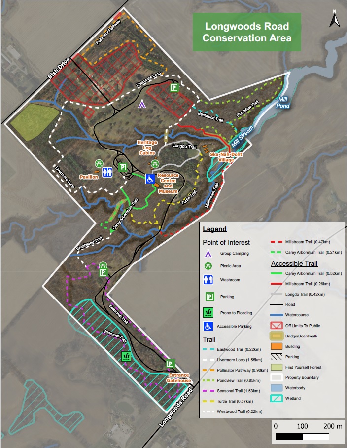
Longwoods Road Conservation Area is located in the Municipality of Strathroy-Caradoc, at 8348 Longwoods Road (Middlesex County Road 2), Mount Brydges. It is 6.5 km west of the village of Delaware or 10 km east of the village of Melbourne.
Mailing Address
8449 Irish Drive, RR#1,
Mount Brydges, Ont.
N0L 1W0
Features
The Lower Thames Conservation Authority acquired this 63 hectare property in 1964.
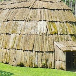
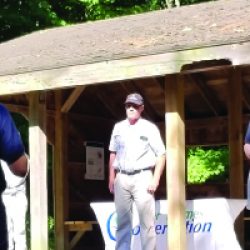
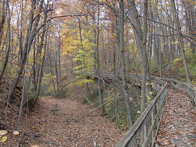
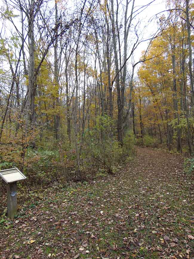
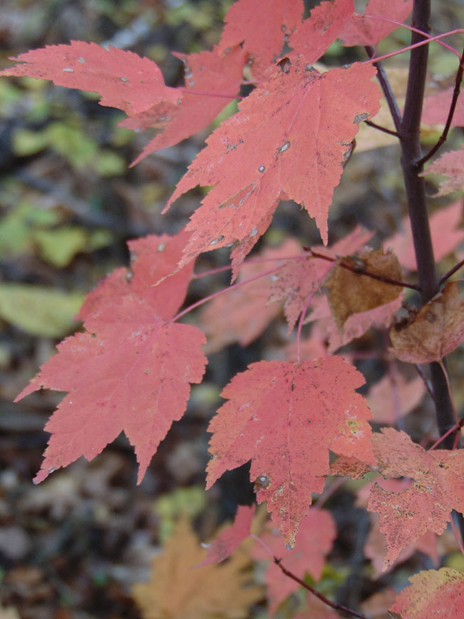
Ska-Nah-Doht Village is the key feature situated within the Longwoods Road Conservation Area. Three heritage log cabins are also found onsite. A Resource Centre / Museum houses artifact and conservation displays, the Turtle Trail Gift Shop, and theatres for video presentations. Additional facilities can be rented including a large picnic shelter and a group camping area for community organizations. Ten kilometres of nature trails (some wheelchair accessible) meander through the forested areas and ravine systems, with boardwalks, staircases and bridges showcasing beautiful views along the way. Educational programming and special public events are popular year round attractions.
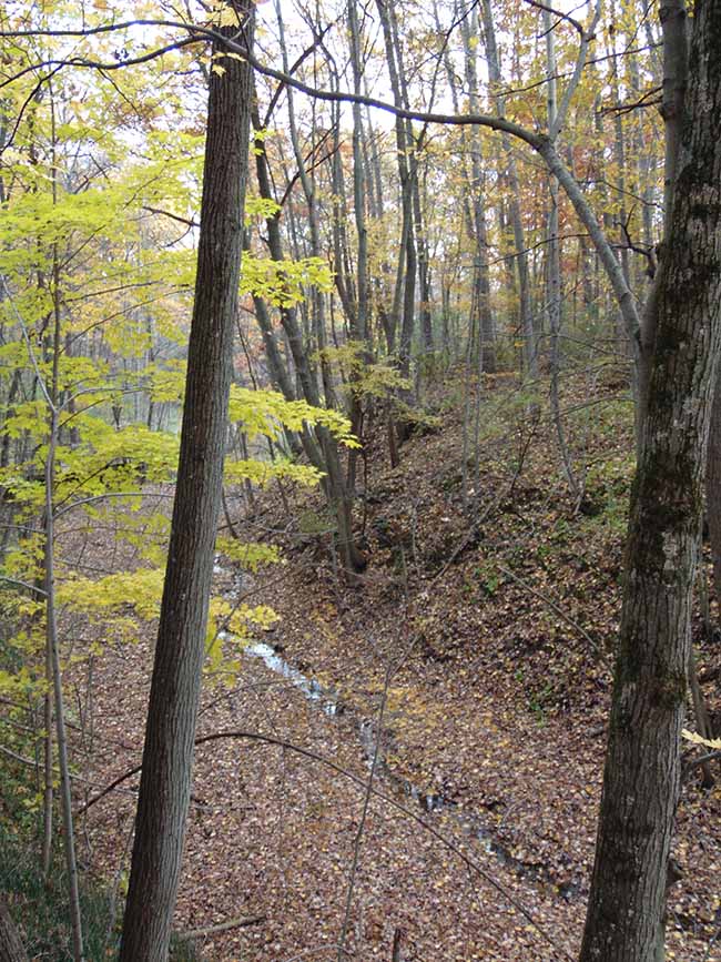
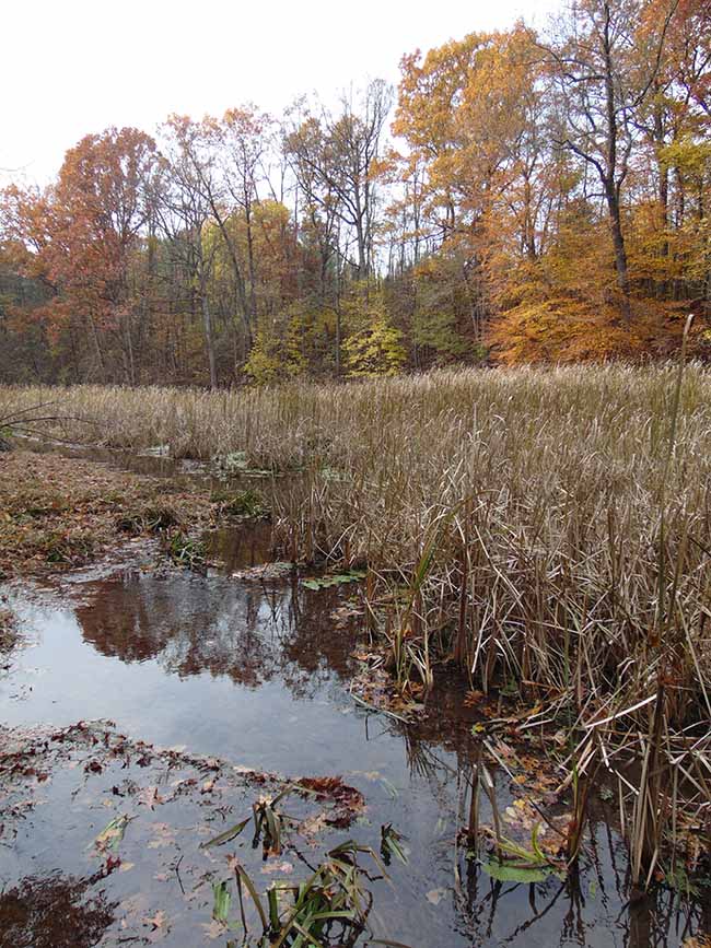
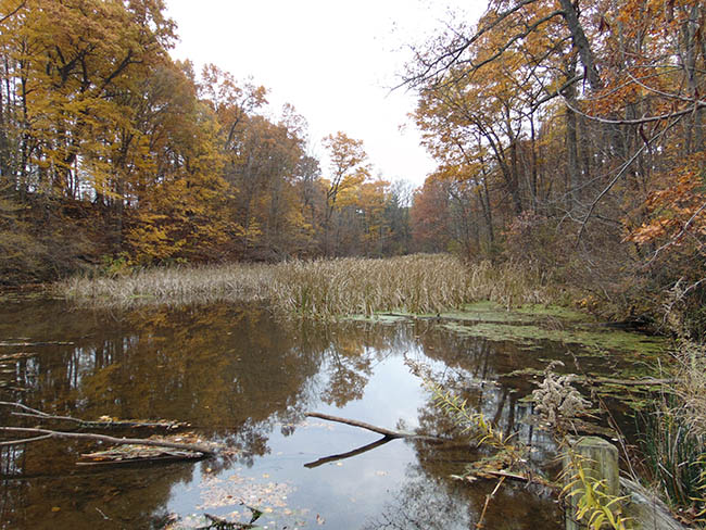
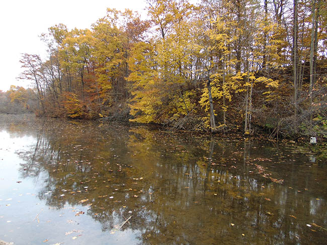
Longwoods Road Conservation Area is located within the Carolinian Life Zone on the Caradoc Sand Plain. The Mill Stream cuts deep ravine systems throughout the conservation area’s forests, and eventually drains offsite into the Thames River. Wildlife abounds with many bird and animal species. A provincially significant wetland has formed along the Mill Stream and can be viewed from a boardwalk system.
Hours of Operation
Longwoods Road Conservation Area grounds and Ska-Nah-Doht Village
Open 7 days a week 9 a.m. to dusk.
May be closed due to weather or road conditions.
Resource Centre / Ska-Nah-Doht Museum
Ska-Nah-Doht Museum / the Resource Centre is currently closed to the public. We are currently undergoing further construction and renovations, we anticipate this phase lasting through the spring.
We look forward to when we can welcome you into our updated space!
Group Camping
For group camping is available for organized groups. Please direct inquiries to [email protected].
Longwoods Road Trail Features
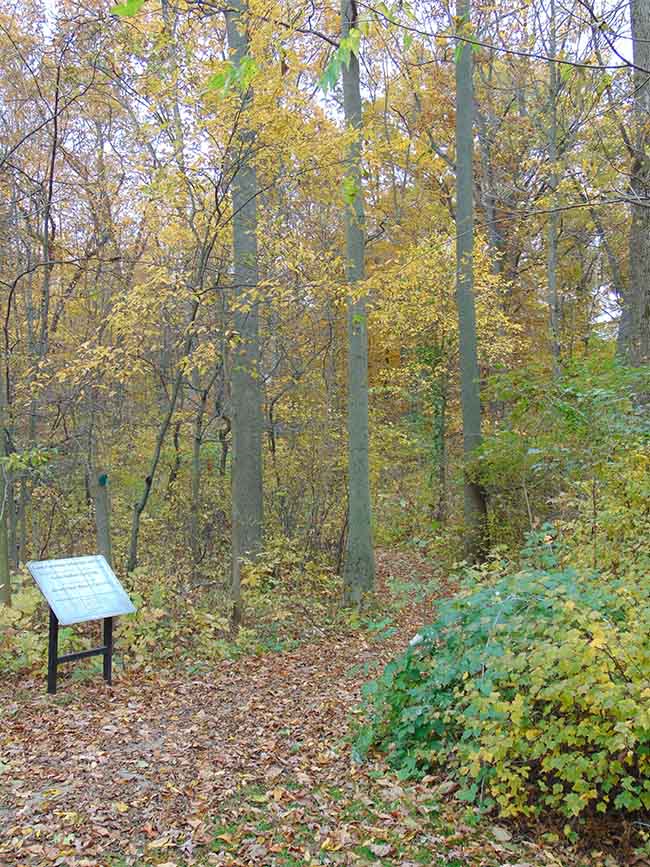
Carey Carolinian Arboretum & Trail – follow green trail marker arrows
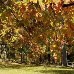
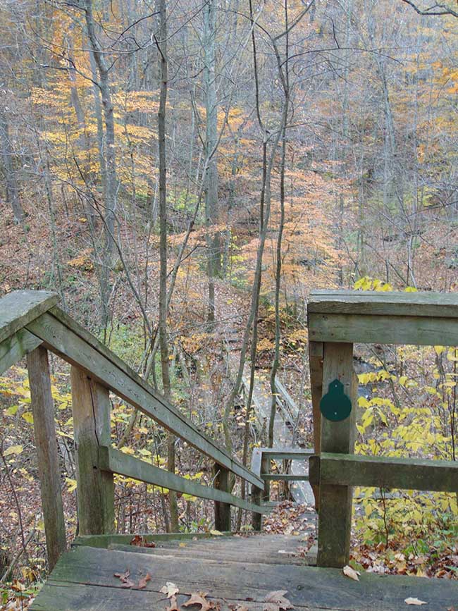
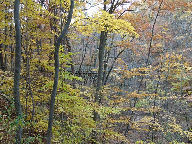
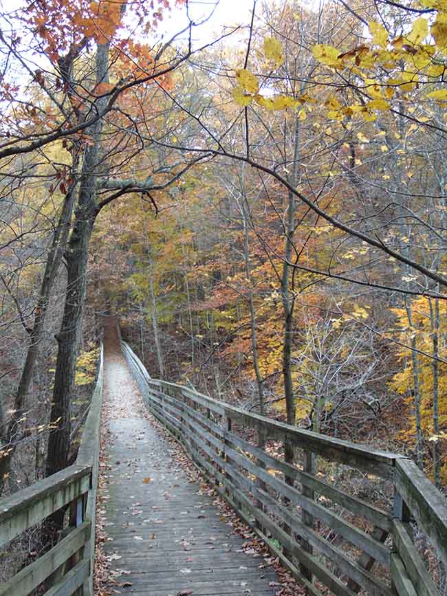
This wheelchair-friendly trail encompasses the area around the 3 cabins, and part of the forest to the west of the Resource Centre. A stairway allows access to the stream meandering along the ravine bottom. Wheelchairs must use the trestle bridge to cross over the stream ravine. The green trail marker arrows point the way for a 0.7 km nature and cultural education experience. Arboretum signs point out Carolinian Ecozone tree and shrub species and their uses by local Indigenous communities. Visit our Carey Carolinian Arboretum & Trail webpage for more information.
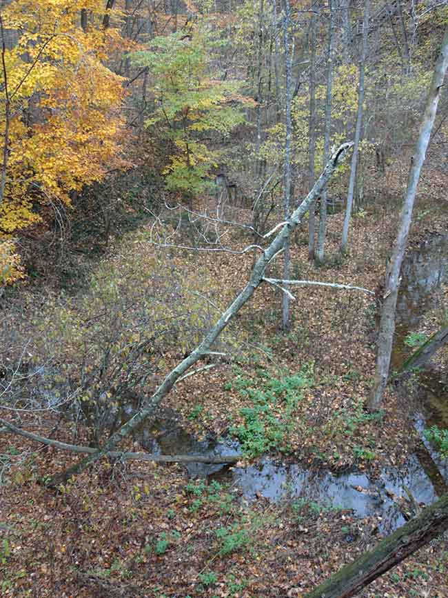
Features from the Ice Age and a Future Challenge – Much evidence from glaciation and how present geographic features formed can be observed from the trestle bridge on this trail.
Fourteen thousand years ago, the last glaciers to cover Ontario started to melt and recede northward. The area around the present Great Lakes was much lower in elevation than it is now due to the weight of the ice on the land. Subsequently, the glacial meltwater pooled and formed a huge lake which covered present day Lake St. Clair, Lake Erie, and parts of Ontario, Michigan, Ohio and Pennsylvania. Much of the soil and rock particles that had been scraped by the 2 km thick ice layer from the north was brought south by glacial movement. When the glaciers melted, this sandy soil was deposited into the new lake called Lake Whittlesey. Much of this particulate matter sank to the lake bottom and formed a thick layer of sedimentation.
As temperatures rose, about 12,000 ybp (years before present), the land started to rise again (post-glacial rebound) and large rivers formed which started to drain Lake Whittlesey. Some areas became river deltas where huge amounts of sandy loam soils were deposited. The area where Longwoods Road Conservation Area is situated is part of one such delta, now called the Caradoc Sand Plain. Once the temperatures increased further, the waters draining Lake Whittlesey became raging torrents, carving out large valleys which you can observe at Longwoods Road C.A.. The sandy soil was carried south and westward and helped form the lakeshore beaches we enjoy today.
The warming trend did not occur quickly and took about 4,000 years to stabilize. This whole process was short in geologic terms, but to us it took a long time, lasting thousands of years. Climate change and Global Warming have occurred in less than 200 years – due to environmental damage caused by human industrialization and use of fossil fuels. The plants and animals we know in our forests and habitats throughout the world are having a hard time adjusting to the fast change. Many plants and animals that couldn’t live through the cold Ontario winters previously are now able to do so. These new occupants along with “invasive species” brought over from other countries are competing with our resident Ontario plants and animals for limited resources. We face losing many species if we can’t find and implement solutions to Global Warming. We ourselves will be increasingly affected by Lyme disease, malaria and other infections that do well in warmer climate conditions that allow their vectors to thrive.
Trail Features – Ravine, glaciation, deposition of sandy loam soil from glacial Lake Whittlesey
Plants: a comprehensive list of Carolinian species planted along the trail can be found here Carey Carolinian Arboretum & Trail . A list of native plants present in the Carey Carolinian Arboretum and Trail Kiosk Gardens can be found in the Planting Brochure.
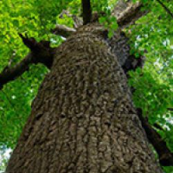
Trees – Shumard and Red Oak canopy, Basswood, Sugar Maple, White Ash, Eastern Hop Hornbeam
Shrubs – Maple Leaved Viburnum, Witch Hazel, Alternate-leaved (Pagoda) Dogwood
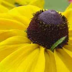
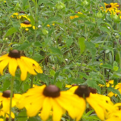
Herbaceous Plants – Canada Mayflower, Wood Betony, Mayapple
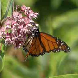
Wildlife You May Encounter: ebony jewelwing damselfly, American toad, spring peeper frog, gray tree frog, Black-capped Chickadee, Downy and Hairy Woodpeckers, Red-bellied Woodpecker, Blue Jay, southern flying squirrel, gray squirrel, eastern cottontail rabbit
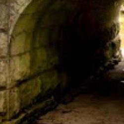
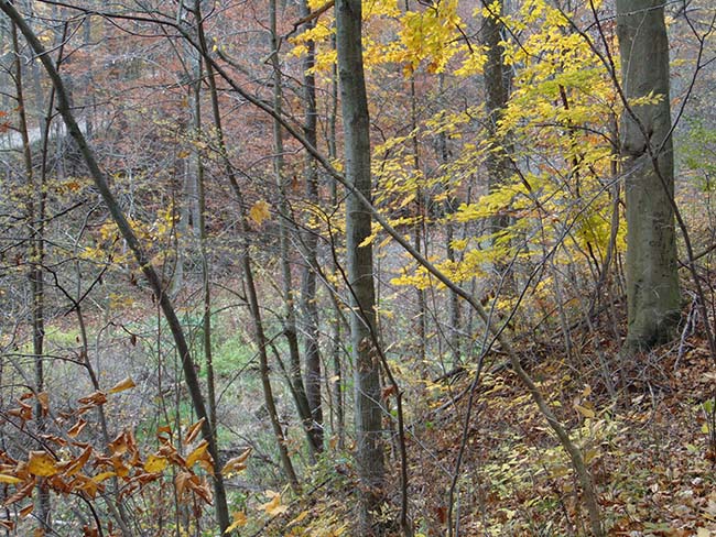
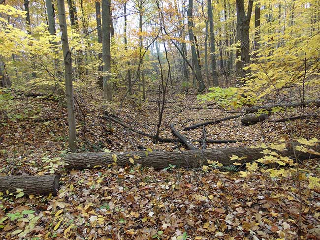
Some Views Along the Way:
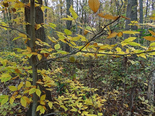
Turtle Trail – follow yellow trail marker arrows
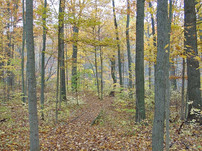
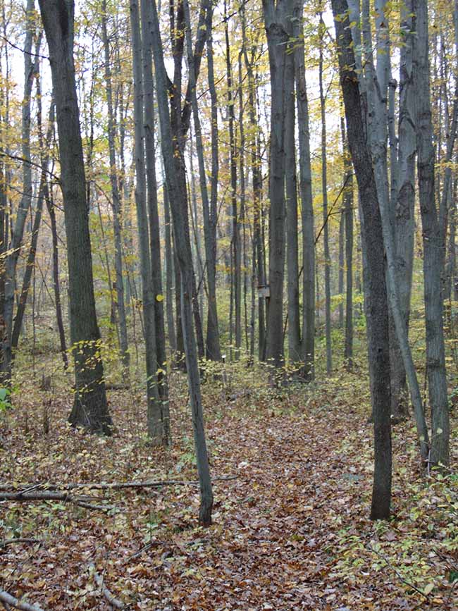
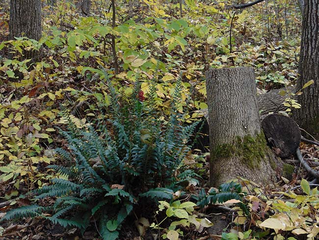
This 0.3 km winding trail takes you through a Carolinian Ecozone forest in a middle stage of forest succession. Young oak, maple, basswood and cherry trees can be observed as you walk through the forest and along the top of a stream ravine, carved out by glaciation thousands of years ago. The sand-loam soil here was deposited here 14,000 years ago when this area was part of glacial Lake Whittlesey. The trail leads to a trestle bridge where it joins the Carey Carolinian Arboretum and Trail (green trail marker arrows). Along the trail a nesting box can be observed. Southern Flying Squirrels (a Species at Risk in Ontario and Canada) can raise their young in these boxes which form “tree cavities.” This trail is not wheelchair accessible, but the neighbouring Carey Carolinian Arboretum and Trail does provide wheelchair access.
Trail Features – Provides access between roadway, trestle bridge and Carey Carolinian Arboretum and Trail. Overlooks stream ravine and provides a short hike through a deciduous forest.
Plants:
Trees – Sugar Maple, White Ash, Shumard Oak, Red Oak, Basswood, Eastern Hop-hornbeam, Black Cherry
Shrubs – Spicebush, Witch Hazel, Maple Leaved Viburnum
Herbaceous Plants – Trilliums, Trout Lily, Wood Anemone, Early Saxifrage, Bloodroot, Canada Mayflower, Wood Betony, Mayapple
Wildlife You May Observe: eastern grey squirrel, southern and northern flying squirrels, eastern chipmunk, deer mice, short-tailed weasel, Northern Cardinal, Blue Jay, Black-capped Chickadee, Cooper’s and Sharp-shinned Hawks, Downy and Hairy Woodpeckers, Red-bellied Woodpecker
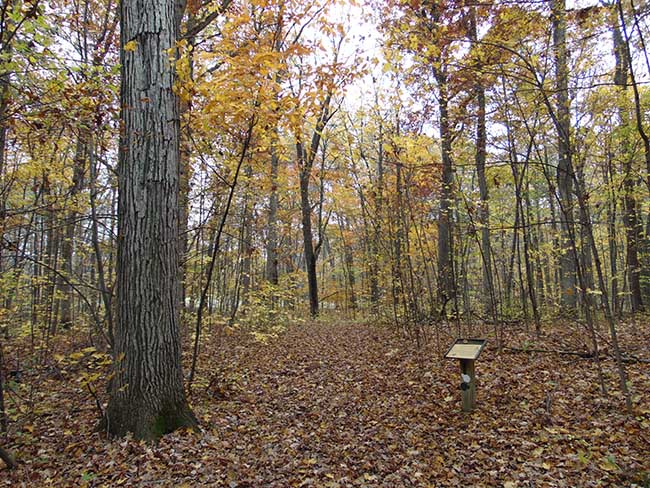
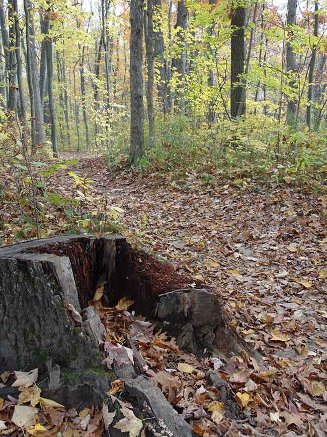
Some Views Along the Way:
Westwood Trail – follow white trail marker arrows
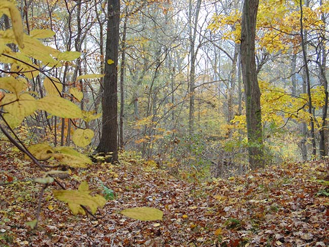
This 0.27 km trail connects the small picnic area to the Carey Carolinian Arboretum & Trail, crossing an intermittent stream that flows in the spring and dries up over summer. This trail contains some of the oldest trees at Longwoods. Large beech trees appear to form large elephant legs walking through the forest. All-terrain wheelchairs can use this trail.
Trail Features – A shady stroll through a grove of larger, canopy forming trees. Spring brings a carpet of trilliums and other flowers. In spring the stream turns yellow with all of the Marsh Marigolds.
Plants:
Trees – American Beech, Bitternut Hickory, Black Cherry, Red and White Oak, Sugar Maple
Shrubs – Choke Cherry
Herbaceous Plants – Marsh Marigold, Trilliums
Wildlife You May Observe: ebony jewelwing damselfly, spring peeper frog, Blue Jay, Black-capped Chickadee, eastern cottontail rabbit, Wild Turkey
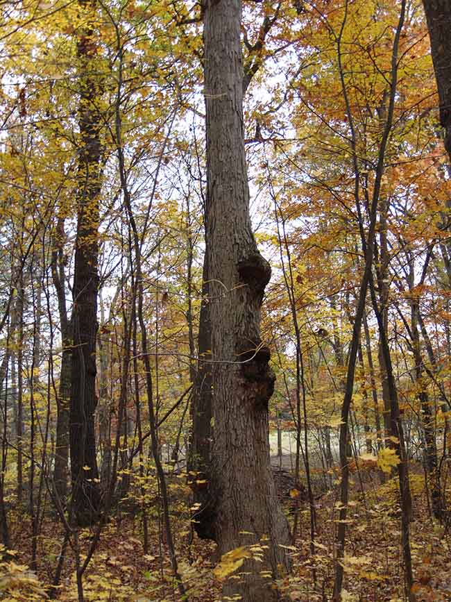
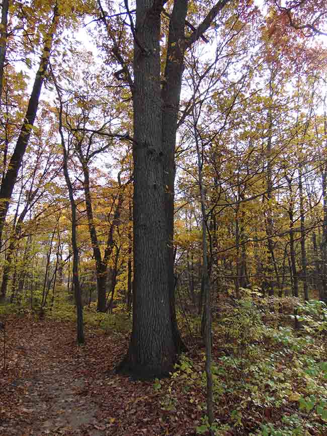
Some Views Along the Way:
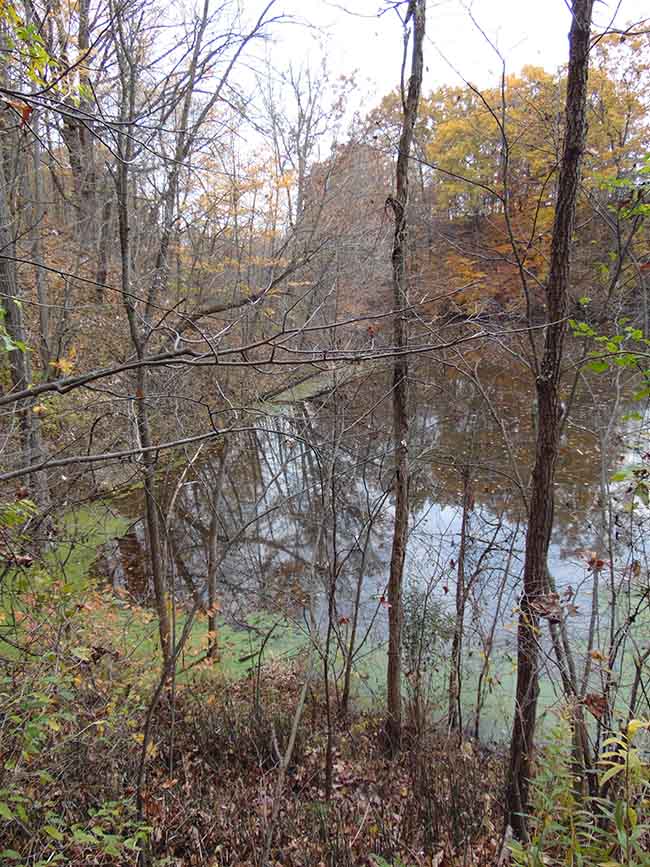
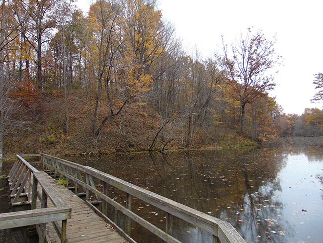
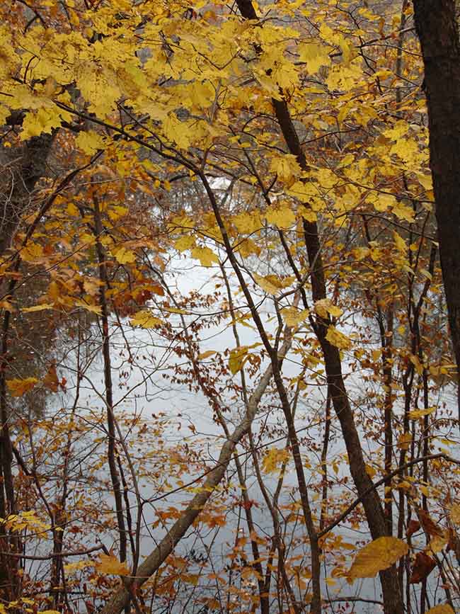
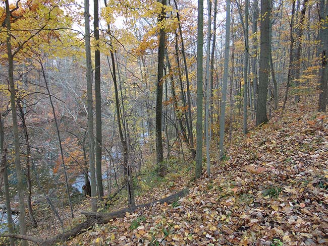
Millstream Trail – follow red trail marker arrows
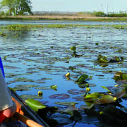
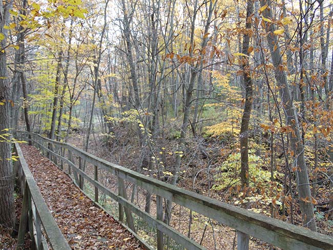
This 1 km trail has the best of both worlds! The upland section meanders through Carolinian deciduous forest and includes some ups and downs in elevation. A wheelchair accessible boardwalk allows one to travel through a steep-sided gurgling stream valley down to a marsh filled with cattail and other wetland plants. A great spot to relax and take in nature on a sunny day.
Trail Features – Forest consisting of Carolinian trees and shrubs of mixed growth stages. Steep-sided stream ravine visible from boardwalk to marsh. Short, steep trail down to pond with a viewing dock (which is part of Eastwood Trail [blue trail markers] and not wheelchair accessible)
Plants:
Trees – White Oak, Red Oak, Shumard Oak, Eastern Hop Hornbeam
Shrubs – Gooseberry, Raspberries, Red Currant
Herbaceous Plants – Trilliums, Bloodroot, Trout Lily, Early Saxifrage, Enchanter’s Nightshade, Showy Tick Trefoil, Pointed-leaved Tick Trefoil, Horsebalm, Wild Ginger, Early Meadow Rue
Marsh Plants – Skunk cabbage, Equisetum along ravine, Marsh Marigold, Common and Narrow-leaved Cattails, Arrowhead, Sedges, Jewelweed, Nodding Bur Marigold
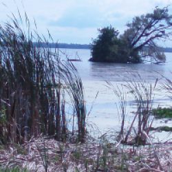
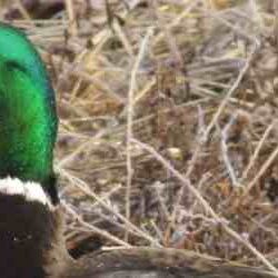
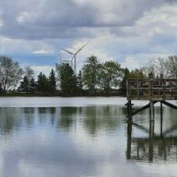
Wildlife You May Observe: dragonflies, damselflies, Northern leopard frog, spring peeper frog, green frog, gray tree frog, midland painted turtle, Red-winged Blackbird, Swamp Sparrow, Mallard Duck, Wood Duck, Great Blue Heron, muskrat, American mink
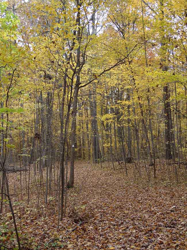
Some Views Along the Way:
Longdo Trail – follow grey trail marker arrows
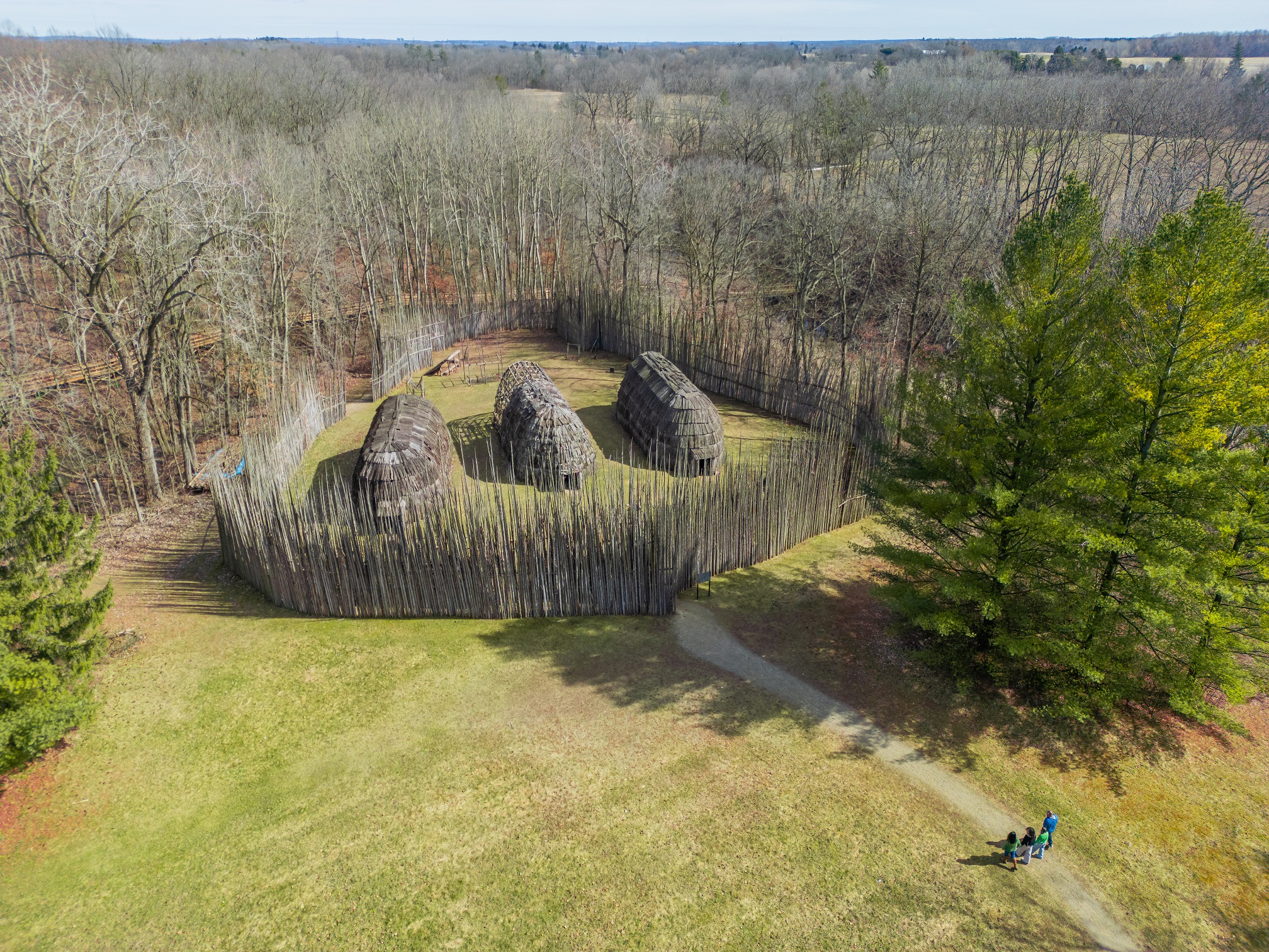
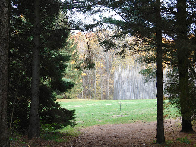
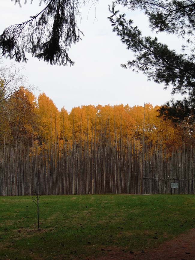
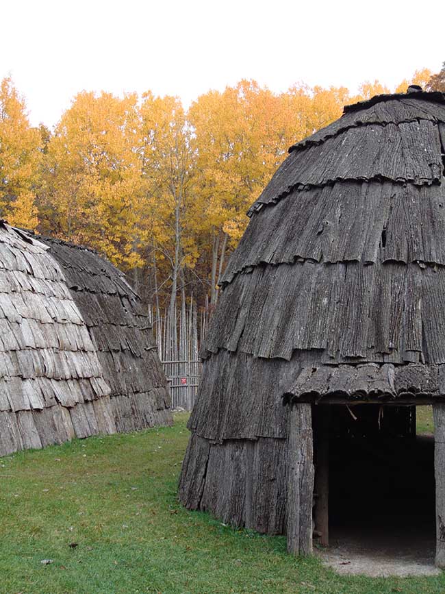
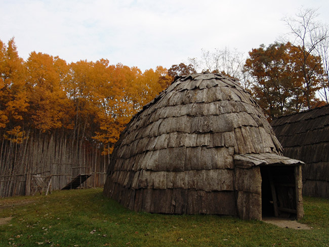
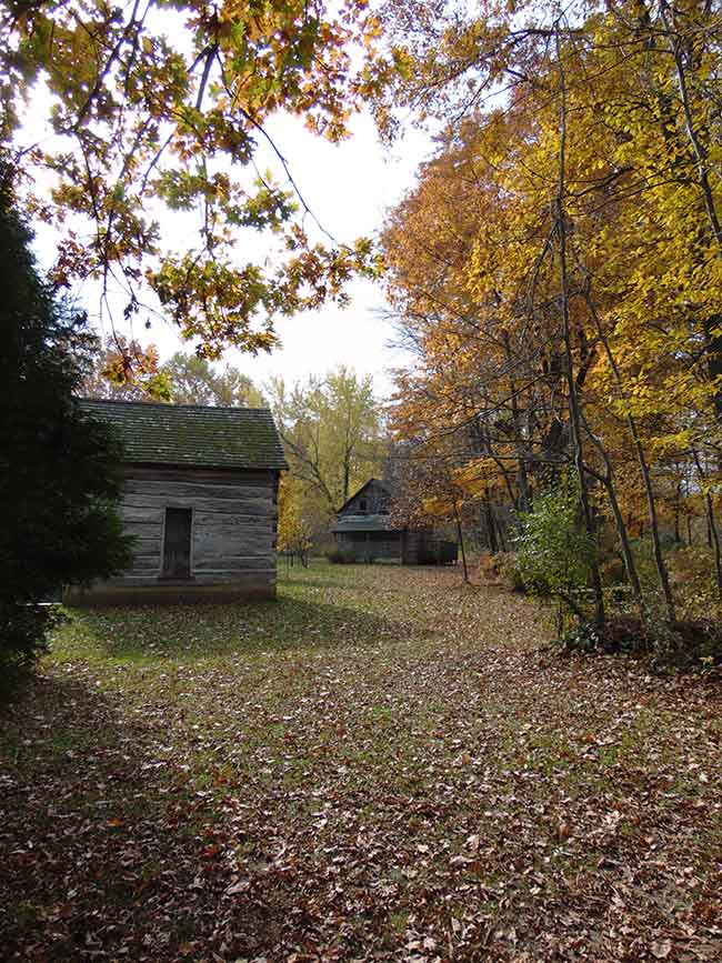
This wheelchair friendly trail takes you past a yellow fire-access gate, through a natural alleyway of spruce, cedar and white pine opening up to a view of the Ska-Nah-Doht Village palisade wall. Find your way through the maze to enter the Village, a slice of life from a thousand years ago. Once this time-travel experience is done, another awaits you. Follow the black trail arrows alongside a forested stream ravine to the heritage log cabins, donated by members of the Munsee-Delaware Nation, Oneida Nation of the Thames, and Chippewas of the Thames First Nation.
Trail Features – Easy walking along groomed pathway to Ska-Nah-Doht Village, a reconstruction of a Haudenosaunee village featuring a palisade wall/maze and three longhouses. A short distance to the forest edge access road takes you to three cabins built 200 years ago.
Plants:
Trees – Eastern White Cedar, White Pine, Tuliptree
Shrubs – Staghorn Sumac
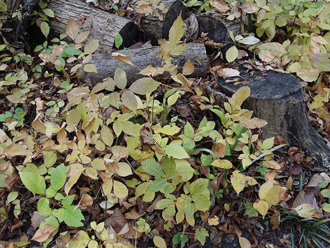
Herbaceous Plants – Burdock, Plantain, Common Mullein, Poison Ivy (along edges so don’t worry), False Solomon’s Seal, Smooth Solomon’s Seal, White Trillium, Bloodroot, Wild Ginger, Bergamot, Wild Geranium, Jack-in-the-Pulpit
Wildlife You May Observe: eastern chipmunks, variety of birds, lots of friendly gray squirrels and the occasional red fox!
Some Views Along the Way:
Eastwood Trail – follow blue trail marker arrows
This 0.22 km “shortcut” enables hikers to travel from a park maintenance-vehicle access laneway to the marsh-dock viewing area. One slope of this trail meanders through a section of forest that has had its mature ash trees killed by the invasive emerald ash borer, an insect native to Asia. The dead ash will decay and serve to nurture the soil for future ash and other native tree growth. Following the trail will lead you to the open water pond found at the tail-end of the marsh, a scenic spot where you may encounter herons, ducks, geese, kingfishers and many forms of aquatic life. This trail is not wheelchair accessible as there is a long 35° slope down to the marsh. A wheelchair friendly boardwalk is available to view the marsh along the Millstream Trail.
Trail Features – The sloping pathway through the forest intersects with the Millstream and Pondview Trails and continues on to the marsh-dock viewing area. Many large white ash trees have had to be cut down and line the edges of the trail. Forest nutrient recycling and regrowth may be observed in these areas. The marsh-dock is a great spot to take photos, paint or enjoy the sights and sounds of nature.
Plants:
Trees – Hawthorn, Black Walnut, Basswood, Eastern Hop Hornbeam, Bitternut Hickory, Serviceberry, Hackberry, Red Oak, White Oak, Shumard Oak, Beech,
Shrubs – Gooseberry, Virginia Creeper, Raspberries, Greenbrier and Spicebush
Herbaceous Plants – False Solomon’s Seal, Mayapple, Nightshade, Lopseed, Dames Rocket and Feverwort (Wild Coffee)
Wildlife You May Observe: Belted Kingfishers, Wood Ducks, Canada Geese, Great Blue Herons, Red-winged Blackbirds, leopard frogs, American toads, gray tree frogs, green frogs, brook sticklebacks, muskrat, American mink, red fox, and many others.
Some Views Along the Way:
Pondview Trail – green trail marker arrows
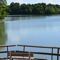
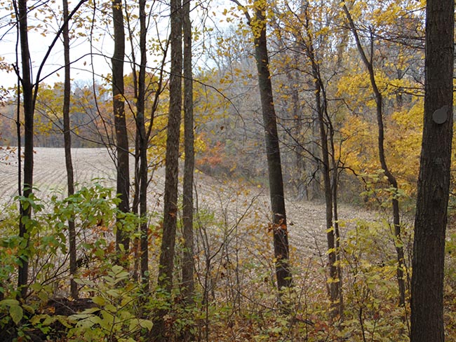
This 0.6 km trail travels from a park-vehicle access lane to intersect with the Eastwood (blue trail marker arrows) and Millstream (red marker arrows) Trails. On one arm of the trail you can experience forest “edge” – the space wildlife utilise between open agriculture field on one side and the forest interior on the other. The other arm of the trail takes you alongside the Millstream Pond and allows a beautiful view of Longwood’s stream ravine which contains a pond water ecosystem. Sunning turtles can be viewed during the summer months and swimming fish can be viewed from the trail’s high vantage point. Watch for kingfishers and great blue herons searching for a meal. This trail is not wheelchair accessible.
Trail Features – Sloping trails with high vantage points overlooking sparkling waters on part of the trail with a young forest community possessing a variety of tree and shrub species alongside a farm field on the other.
Plants:
Trees – Eastern Cottonwood, White Oak, Red Oak, White Oak, Black Walnut and Basswood
Shrubs – Hawthorn
Herbaceous Plants – Bracken Fern, Cinnamon Fern, False Solomon’s Seal, Star-flowered Solomon’s Seal, Mayapple and Partridge Berry
Wildlife You May Observe: southern flying squirrel, midland painted turtle, snapping turtle, bass, sunfish, red fox, groundhog, white-tailed deer
Some Views Along the Way:
Map