• Home
  • About Us
    • Governance
      • About the LTVCA
      • Board of Directors
      • Board Meetings
      • Budget & Financial Statements
      • Public Consultation & Bids
      • Reports/ Plans/ Fees / MOUs
    • Get Involved
      • Employment
      • Volunteers
      • FAQ’s
      • What’s New?
  • Visit
    • Get Outside
      • Conservation Areas
      • Camping
      • Parking Passes
      • Healthy Hikes
    • Things to Do
      • Events
      • Ska-Nah-Doht Village & Museum
  • Conservation
    • Water Management
      • Flood Forecasting & Warning
      • LTVCA’s Flood Control Program
      • Water Control Structures
      • The History of Flooding
      • Flood Notices
      • Flood Notice Types
      • Water Levels
    • Conservation Services
      • Tree Planting
      • Grants for Landowners
      • Feature Partnership & Restoration Projects
      • Phosphorus Education
      • Funding for Farmers
      • Species at Risk
      • Invasive Species
      • Pollinator Habitats
      • Livestock Health
      • LIVING LAB – ONTARIO
  • Learning
    • Education Programs
      • School & Community Groups
      • On-the-Road Programs
      • Asynchronous Opportunities
      • Habitat Fact Resources
  • Planning & Regulations
    • Planning and Regs
      • Plan Input & Review
      • Regulations
      • Enforcement & Compliance
      • Regulated Areas Map
  • Contact Us
    • Get In Touch
      • Contact Form
      • Enforcement & Compliance
      • Staff Directory

Call us 519-354-7310

[email protected]
Lower Thames Valley Conservation AuthorityLower Thames Valley Conservation Authority
  • Home
  • About Us
    • Governance
      • About the LTVCA
      • Board of Directors
      • Board Meetings
      • Budget & Financial Statements
      • Public Consultation & Bids
      • Reports/ Plans/ Fees / MOUs
    • Get Involved
      • Employment
      • Volunteers
      • FAQ’s
      • What’s New?
  • Visit
    • Get Outside
      • Conservation Areas
      • Camping
      • Parking Passes
      • Healthy Hikes
    • Things to Do
      • Events
      • Ska-Nah-Doht Village & Museum
  • Conservation
    • Water Management
      • Flood Forecasting & Warning
      • LTVCA’s Flood Control Program
      • Water Control Structures
      • The History of Flooding
      • Flood Notices
      • Flood Notice Types
      • Water Levels
    • Conservation Services
      • Tree Planting
      • Grants for Landowners
      • Feature Partnership & Restoration Projects
      • Phosphorus Education
      • Funding for Farmers
      • Species at Risk
      • Invasive Species
      • Pollinator Habitats
      • Livestock Health
      • LIVING LAB – ONTARIO
  • Learning
    • Education Programs
      • School & Community Groups
      • On-the-Road Programs
      • Asynchronous Opportunities
      • Habitat Fact Resources
  • Planning & Regulations
    • Planning and Regs
      • Plan Input & Review
      • Regulations
      • Enforcement & Compliance
      • Regulated Areas Map
  • Contact Us
    • Get In Touch
      • Contact Form
      • Enforcement & Compliance
      • Staff Directory

Flood Watch – February 11, 2019 – 3:45 p.m.

Home » Flood Watch – February 11, 2019 – 3:45 p.m.
Flood Watch – February 11, 2019 – 3:45 p.m.

Flood Watch – February 11, 2019 – 3:45 p.m.

February 11, 2019

Highlights:

• Ice jam at Lighthouse Cove remains in place.
• Water levels on the Thames River have fallen both in the city of Chatham and in the area of the ice jam.
• Up to 25 mm of mixed precipitation is in the forecast for tomorrow.
• Water levels on the Thames River can be expected to rise again.
• Ice jam related risks continue as the jam could move with a water level rise.

Message:

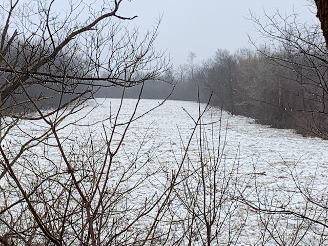
The ice jam that formed Thursday night at Lighthouse Cove remains in place. Flood protection works downstream of the city of Chatham were at risk of being overtopped or breaching and the 6th St. Dam within the city had been operating to protect the south end of the city of Chatham. Water levels have fallen in both the city and the area downstream around the ice jam. Although the risks have greatly lessened with the falling water levels, there remain some risks associated with the ice jam.

Weather forecasts are calling for up to 25 mm of mixed precipitation overnight and throughout the day tomorrow. It will begin as snow, changing to freezing rain, and then into rain in the afternoon. Temperatures are then expected to fall below freezing during the overnight period.

The impacts of this precipitation will largely depend on how much falls, in what form it falls, and how long it takes afterwards before freezing temperatures arrive. Water levels on the Thames River can be expected to rise again. Once again, the ice jam will cause water levels to be higher than typical for the amount of flow. How high the water will rise is not yet clear, but water levels are not expected to exceed those observed last week. It is not anticipated that the 6th St. Dam will need to be operated.

There is also the possibility that the ice jam will move as the water levels rise. The behavior of an ice jam is difficult to predict. The jam could push out into the lake safely, or it could jam up again causing more severe flooding.

People should take extra caution and avoid the river, ditches, and streams. The combination of slippery banks, broken or unstable ice and fast moving cold water can be dangerous. Ice jams can be particularly dangerous. Standing water can also present its own unseen hazards. Children and pets and livestock should be kept away from the water and ice.

Officials will continue to monitor the situation and update this advisory if necessary.

This message will be in effect until February 15th, 2019.

Contact: LTVCA Administration Office (519-354-7310) regarding this message.

Share

What’s New?

  • Watershed Condition Statement – Safety Bulletin – Thames River – April 7, 2025 – 12:00 PM
  • Flood Watch – Thames River and smaller watercourses – April 6, 2025 – 1:00 PM
  • Flood Watch – Thames River and smaller watercourses – April 5, 2025 – 9:00 AM
  • Flood Watch – Thames River and smaller watercourses – April 3, 2025 – 3:00 PM
  • Watershed Condition Statement – Flood Outlook – Smaller watercourses and Thames River – April 1, 2025 – 2:00 PM

Facebook

What’s New?

  • Breakfast & BMPs – Register Today!
  • NEW! Funding for Farmers – 2025 Guide and Application Form
  • Create Something this March Break
  • Battle of Longwoods Returns to Longwoods Road Conservation Area
  • Birding at Big ‘O’

Partner Links

  • Lower Thames Valley Conservation Foundation
  • Conservation Ontario
  • Thames Heritage River; Canadian Heritage Rivers System
  • Chatham-Kent and Lambton Children’s Water Festival
  • Thames-Sydenham & Region Source Protection Area
  • Thames River Clear Water Revival

Connect with us!

Search

© 2025 · Lower Thames Valley Conservation Authority |[email protected] | Tel: 519-354-7310

  • Home
  • Privacy
  • Public Social Media Policy
  • Contact Form
Prev Next