Yesterday, the Lower Thames watershed received significant amounts of rainfall with the Environment Canada gauge at Ridgetown recording 25 mm. An estimated additional 5-10 mm was received overnight. Temperatures are expected to remain above freezing for the rest of the day, but only trace amounts of precipitation are expected. No significant additional rainfall is expected until Saturday.
Water levels have risen on many of the region’s smaller local watercourses and some have spilled their banks. In some areas the situation was aggravated by remaining snow and ice blockages in those watercourses. Water levels should be expected to remain high for the rest of the day. The Indian-McGregor Creek Diversion Channel began operating early this morning to protect the south end of the City of Chatham from flooding.
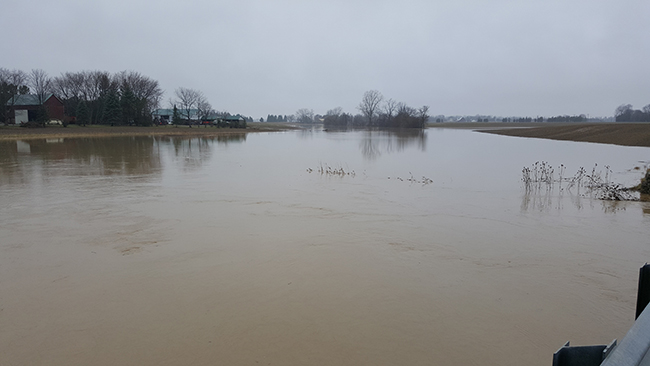
Water levels on the Thames River are already starting to respond to the rainfall. It is not clear yet how high the river may get, but it is unlikely to get as high as it did last week. The accumulation of broken up ice around the Thamesville area from last week remains in place, restricting water flows through that stretch and elevating water levels in the area. While river ice still exists from the Kent Bridge area down to the mouth, the ice has degraded due to the warm temperatures and rainfall. Large areas of open water have appeared where the ice has melted out and even stretches that look intact are probably unsafe.
People should take extra caution and avoid the river, ditches, and streams. The combination of slippery banks, broken or unstable ice and fast moving cold water can be dangerous. Standing water can also present its own unseen hazards. Children and pets should be kept away from the water.
Officials will continue to monitor the situation and update this advisory if necessary.
This message will be in effect until January 25th, 2018.
Contact: Jason Wintermute (519-354-7310 x 227, [email protected]) regarding this message.