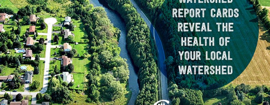
NEWMARKET (March 22, 2018) – A second set of Conservation Authority watershed report cards has begun to roll out today and the grades indicate that many of Ontario’s watersheds – particularly those in southern, more urban areas – are stressed.
Conservation Authority watershed report cards show an average grade of ‘C’ for surface water quality and ‘C’ for forest conditions. Groundwater appears to be in better shape, however it is much more difficult to assess on a watershed-wide basis.
The first set of Conservation Authority watershed report cards was released in 2013 and showed similar results. The main challenges to healthy watersheds continue to be the impacts of urbanization and climate change.
“March 22 is World Water Day and one of the reasons we celebrate it is to bring attention to how important it is to protect our lakes, rivers, streams and groundwater. We rely on them as sources for drinking water, in addition to all kinds of other uses” said Kim Gavine, General Manager of Conservation Ontario.
“The Conservation Authority Watershed Report Cards provide science-based information to government and agency partners. They are also a good way to get information out to local residents who are very curious about conditions in their areas,” Gavine said. “Conservation Authorities also provide information on lots of opportunities for people to get involved and take action.”
Using a variety of methods, including provincial monitoring networks, Conservation Authorities typically monitor and report on three resource categories: surface water quality, forest conditions and groundwater quality. Some Conservation Authorities have also provided information on the state of wetlands in their watersheds.
Conservation Authorities work in many local, provincial and federal partnerships with governments, other agencies, landowners and residents to plan and deliver watershed management programs that strive to keep Ontario’s watersheds healthy. The watershed report cards can be used to target specific actions to address issues and improve conditions.
You can access your own report card and find more information about the watershed report cards at www.watershedcheckup.ca As well, a story map has been developed to show more detailed information about conditions across the province: www.stateofontariowatersheds.ca
For more Information;
Kim Gavine, General Manager, Conservation Ontario [email protected]
905.895.0716 ext 231
Jane Lewington, Marketing & Communications Specialist [email protected]
905.895.0716. ext 222
Conservation Ontario represents Ontario’s 36 Conservation Authorities.
-30-

